Book your stay
Welcome to The Summer Isles Hotel
Book now to stay from 29th March 2024 onwards. Book now to eat from 22nd March 2024 - one week early by popular demand!
Please call the hotel on 01854 622282, or click here to make a reservation.
To reserve a table in our restaurant or bar email welcome@summerisleshotel.com.
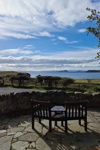
The Summer Isles Hotel is renowned as an oasis of civilisation tucked away in the vast, natural and ruggedly beautiful landscape of the Western Scottish Highlands. The hotel is a favourite destination for food lovers, outdoor adventurers and for those looking for peace, tranquillity and fresh air.
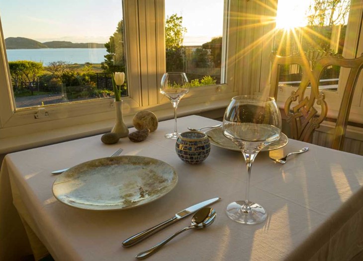
We aim to reflect the splendour of our surroundings (and especially the sea) in everything that we do. In the restaurant and bar, we showcase primarily seafood and fish in all its diversity, from “magnificently simple” to “creative and refined”. This is done in the most sustainable way possible through loyalty and commitment to the local waters and grounds of The Coigach Peninsula.
The North Atlantic Current helps to warm the climate but the weather can be anything from Arctic to Aegean inside a week! It’s best to be prepared so may we suggest that you pack everything from tee shirts to waterproofs and sun cream to bobble-hat!
There is no strict dress code at the hotel. Please wear whatever makes you feel happy and comfortable during your stay.
Discover Achiltibuie
Despite its remoteness, or perhaps because of it, Achiltibuie provides a remarkable number of activities and things to do.
The area boasts many walks ranging from a gentle stroll from the hotel to a more challenging walk up Stac Pollaidh that will take your breath away. You are never far from the sea which provides cliffs to walk on and beaches to explore. The area is also fabulous for cycling, boating, fishing (lochs and sea) and seeing wildlife in their natural habitats.
The landscape is truly awe-inspiring. Go explore using the map below!

Dog Friendly
Your dog will really enjoy a few days in Achiltibuie!
Ten of our bedrooms are dog friendly with bowls, rugs and treats provided upon arrival.
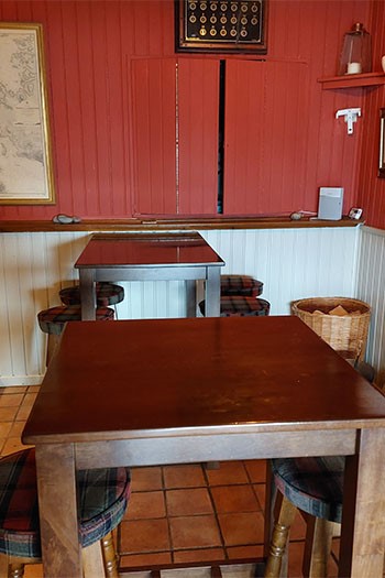
Dogs are welcome in the bar as long as they are on best behaviour!


